Milepost 93.1 – Osburn Stand – Noble Osburn opened a stand here in 1811. By the early 1820s, when the city of Jackson was founded, traffic shifted away from this […]
Milepost 100.7 – Choctaw Agency – From 1807 until after 1820 a brick structure here housed an agent who served as a liaison between the U.S. Government and the Choctaw […]
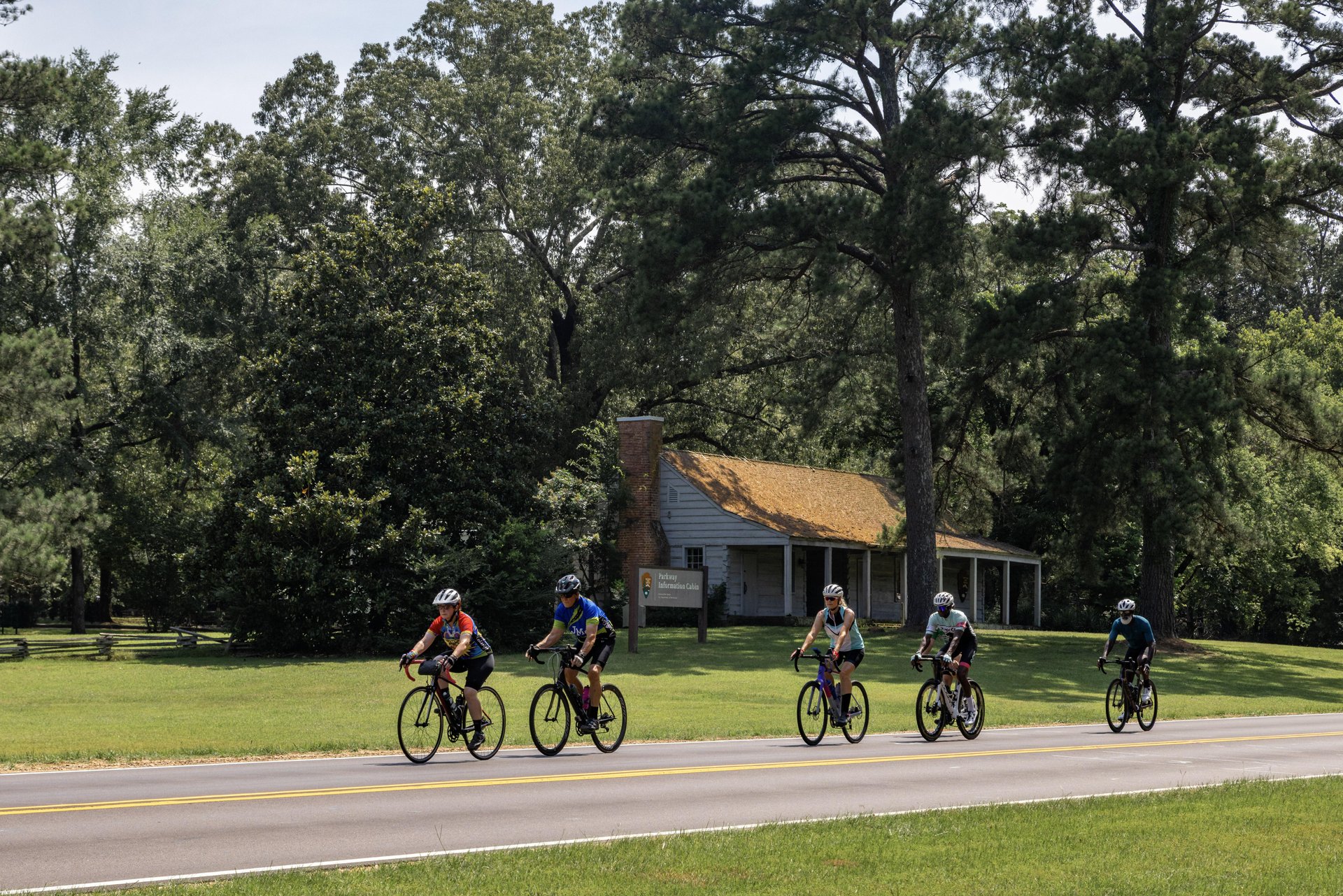
Milepost 102.4 – Parkway Information Cabin. Visitors can also exit the Parkway here to visit the Craft Center.
Milepost 104.5 – Brashears Stand and Old Trace Site – The Stand was advertised in 1806 as ” house of entertainment in the wilderness.” Nearby is part of the original […]
Milepost 105.6 – Reservoir Overlook – Ross Barnett Reservoir on the Pearl River parallels the parkway for eight miles.
Milepost 106.9 – Boyd Site – These earthen burial mounds were built from 900 to 1,200 years ago.
Milepost 107.9 – West Florida Boundary – This old boundary ran from the Yazoo and Mississippi rivers’ confluence east to the Chattahoochee.
Milepost 122.0 – Cypress Swamp – Self-guiding trail. Allow 20 minutes to walk through a water Tupelo/bald-cypress swamp.
Milepost 128.4 – Upper Choctaw Boundary – Self-guiding trail. Allow 10 minutes to walk in area that features southern pines. A line of trees marks this dividing line.
Milepost 135.5 – Robinson Road – Dating from 1821 this road connected Jackson and Columbus, Mississippi. It also has a picnic area.
Milepost 145.1 – Myrick Creek – Self-guiding trail. Take 10 minutes to learn about the beavers here.
Milepost 160.0 – Information Center – Kosciusko chamber of commerce volunteers provide travel information for the parkway and local area.
Milepost 164.3 – Hurricane Creek – Self guiding trail. Allow 15 minutes to walk in area that identifies the plants found in different soil conditions.
Milepost 175.6 – Cole Creek – A short self-guiding trail through a water Tupelo/bald-cypress swamp.
Milepost 176.3 – Bethel Mission – One of the 13 Choctaw missions was one-half mile to the northwest. Picnic area.
Milepost 180.7 – French Camp – Louis LeFleur established a stand here in 1812. It became a school in 1822 and remains one to this day. Sorghum is made here […]


